
Crafted Cartographic Solutions
Service
At Geonectar, service is our cornerstone.
We’ve partnered with GISCorps on numerous volunteer initiatives and continue to support the PhotoMappers disaster‑response effort. PhotoMappers crowdsources photo geolocation during emergencies—then vets and publishes those images on interactive maps and dashboards in collaboration with GISCorps, GPN, and CEDR Digital Corps. These tools give emergency managers real‑time situational awareness, so they can rapidly assess storm impacts and coordinate relief.
During the COVID‑19 crisis, Geonectar helped maintain a statewide vaccination‑site dashboard and contributed to the COVID‑19 In America project—mapping and analyzing pandemic data to deliver actionable public‑health insights.
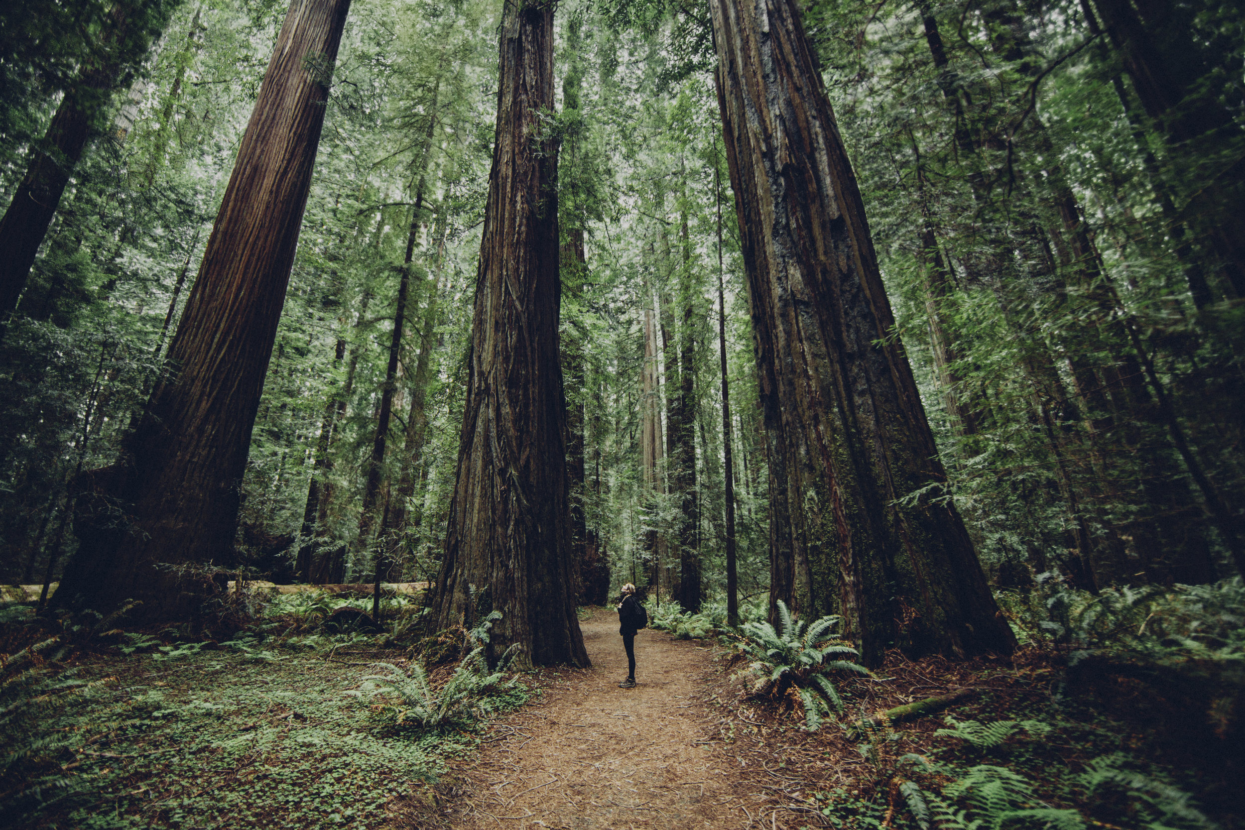
Our passion for protecting nature drives us to support environmental causes as well. We’ve integrated GIS into a youth‑education program at a local nonprofit and created a comprehensive species inventory for a wildlife rescue in Washington, D.C., bringing critical data to conservation efforts.
Testimonials
“This collaboration enabled WMHO’s environmental research and education programs to reach new heights. We learned to harness GIS mapping in order to improve the scope and depth of our research capabilities, as well as our abilities to analyze and communicate them in support of our educational mission. Our volunteer, Mackenzie, was thorough, reliable, patient, and comprehensive in her approach with us. She truly listened to our goals and helped to pace us accordingly given our unique resources and capabilities. We are extremely pleased with the results.” – Deborah Boudreau, Education Director of the Ward Melville Heritage Organization
“WMHO greatly appreciates the professionalism and expertise GISCorps volunteer Mackenzie Fox gave WMHO for the creation of this remarkable storytelling tool.” – Dr. Richard Rugen, Chairman of the Board of the Ward Melville Heritage Organization